A vintage map (or two or three!) looks pretty cool in any room and makes a great gift, too! Here’s a collection of printable maps available to download for free.
What to do with a vintage map? See our collection of DIY wall décor ideas using vintage maps, or check out these projects: Map Wall, Map Wallpaper, Pieced Map Wall Art, or simply print and frame one.
20 Free Vintage Map Printable Images
by Brynne from The Gathered Home
Some of these vintage maps are available in sizes big enough to be printed out clearly in large formats. Do a little searching online for great deals on poster prints or learn how to get them printed as black and white engineer prints (it’s super cheap!). Also see my tutorial on how to prepare a vintage image for large format printing (using Photoshop Elements).
See ideas for decorating with engineering prints
Printing these vintage images at home with a high-quality color printer also works well. Or have them printed at a local printing place or an online printing shop – the price will be very affordable for smaller standard sizes like 8 x 10″, 5 x 7″ or 8.5 x 11″.
See 20 MORE vintage map printable images
To download, click on the link to visit the original source for each image and/or follow the instructions below the title of each map.
(1) French Air Network Map via David Rumsey
(in “Search The Collection” box type in “French Air”. Find the image, click on it, then choose “Export” to get a drop down menu of sizes available to download.)
(2) Nolin’s World Map 1767 via Bibliodyssey
(3) Double Hemisphere World Map 1690 via Bibliodyssey
(4) “Via Eastern” Telegraph Map via David Rumsey
(in “Search The Collection” box type in “eastern associated telegraph companies”. Find the image, click on it, then choose “Export” to get a drop down menu of sizes available to download.)
(5) Map of the World via The Graphics Fairy (Part I Western Hemisphere, Part II Eastern Hemisphere)
(6) Humboldt’s Kosmos via Bibliodyssey
(7) Eastern & Western Hemispheres via Bibliodyssey
(8) 1675 Vintage World Map via Vintage Printable
(Click the image to download)
(9) Nouvelle Geographie Universelle via Vintage Printable
(10) Norris’s Cyclopedic Map via Bibliodyssey
(11) America via David Rumsey
(in “Search The Collection” box type in “Weiland America”. Find the image, click on it, then choose “Export” to get a drop down menu of sizes available to download.)
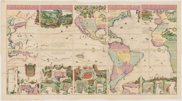
(12) De Fer’s Map of the Americas 1713 via Bibliodyssey
(13) Map of Early America via Public Domain Pictures
(14) Bird’s Eye View of Brooklyn via Bibliodyssey
(15) Bird’s Eye View of New York via Bibliodyssey
(16) Schenk’s Map of Erzgebirge 1758 via Bibliodyssey
(17) The British Isles via The British Library
(18) 17th Century Map of Egypt via Nationaal Archief
(19) 1937 Map of Paris via Old Maps of Paris
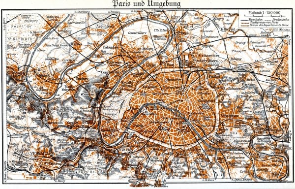
(20) 1920 Map of Paris via Vintage Printable
(Click the image to download)
Check out 20 MORE printable vintage maps
And come see ways to use these vintage maps.
We have some great printable art and more vintage print collections, too!
Also check out our recipes, DIY Project Plans, and our remodel and decorating inspiration. You’ll be glad you did!
Please come follow along with us on all our platforms: Instagram, YouTube, Pinterest, and Facebook.

Originally published 01-09-2015 // Updated 01-06-2021
[ad_2]
Source link


